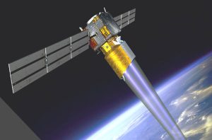
Launched in 2018, the 1.3 tonne satellite has already worked 18 months longer than its planned three year mission, but is now running out of orbit-maintaining fuel.
Matter and radiation released by recent solar flares and coronal mass ejections have temporarily increased drag in space, and ESA is using this to naturally decrease Aeolus’ altitude from 320 to 280km over a few months. Using remaining fuel, it will then be controlled to 150km, and burn up at around 80km.
“ESA’s efforts to ensure a safe return go well beyond international standards and place the Agency in the lead for space safety,” according to the space organisation. “Operators will aim the mission towards the ocean, reducing the small chance that fragments could cause harm should any reach Earth’s surface.”
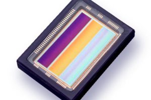
The 16 x 16 pixel CCD69 ultraviolet imager in the on-board ‘atmospheric laser Doppler instrument’ (Aladin) was built by Teledyne e2v Space Imaging in Chelmsford, Essex, UK. It is this that measures the Doppler shift of return signals from aerosol particles in the atmosphere to deduce wind speed at different altitudes.
“The team manufactured a bespoke sensor for Aeolus with a novel design specifically for this application,” said Telydyne. “It collects many signals from different altitudes, enabling Aeolus to measure wind speed at different heights throughout the atmosphere.”
It has a contract with ESA to develop a better CCD69 detector, based on what was learned from Aeolus. “We look forward to building a detector with improved performance for the Aeolus-2 follow-up mission,” said Teledyne chief engineer Paul Jerram.
 Electronics Weekly Electronics Design & Components Tech News
